You have just 45 days to see one of the greatest treasures in British naval history before they return to storage for months, perhaps years, to protect them.
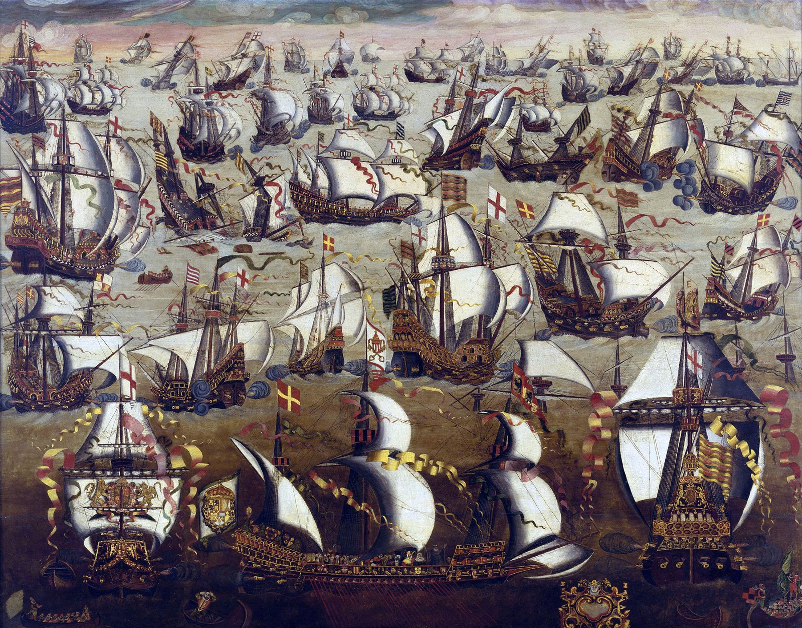
The Armada Maps chart the Royal Navy’s defeat of the Spanish fleet – or armada – in 1588, one of the defining moments in the history of the navy, nation and Europe.
The ten hand-drawn maps – compiled just one year after the victory – follow the progress of Spanish force (141 ships and 24-thousand men) and the better led, better trained and more professional British fleet which thwarted their invasion plans.
The clashes with the Spanish in the summer of 1588 are the first battle honors awarded in Royal Navy history, held by some of the greatest names in the Fleet such as HMS Ark Royal.
Due to the exceptionally fragile nature of the maps, they can only go on public display for 45 days – until Tuesday August 8 – at the National Museum of the Royal Navy in Portsmouth before returning to the archive for preservation.
It could be several years before individual maps, let alone the entire collection, receive another public airing.
The maps were acquired for £600k back in 2020 thanks to a mix of crowdfunding and support from the Art Fund and National Heritage Memorial Fund, ensuring they didn’t leave the UK in the hands of a private.
“The defeat of the Armada was a turning point in forging our nation’s identity and the maps act as a powerful commemoration of this pivotal naval battle,” explained Professor Dominic Tweddle, Director General of the National Museum of the Royal Navy.
“Our job is to tell epic story of the Royal Navy, its impact on Britain, as well as the world, from the earliest times to the present day, and to that end we’re delighted to display the complete Armada Maps Collection for the first time.”
The maps are thought to be the earliest surviving representations of the 1588 campaign with each chart detailing the position in the Channel of individual ships on both sides of the battle. In addition, also on display is a rare map from May 1588 of the Spanish Armada off Lisbon.
Visitors can digitally engage with the maps through a touchscreens and animation created specifically for the exhibition.
Following guidance from world-leading conservation experts, including The National Archives in Kew, the maps can only be displayed for 45 days due to their fragile nature and the dangers of exposure to light.

