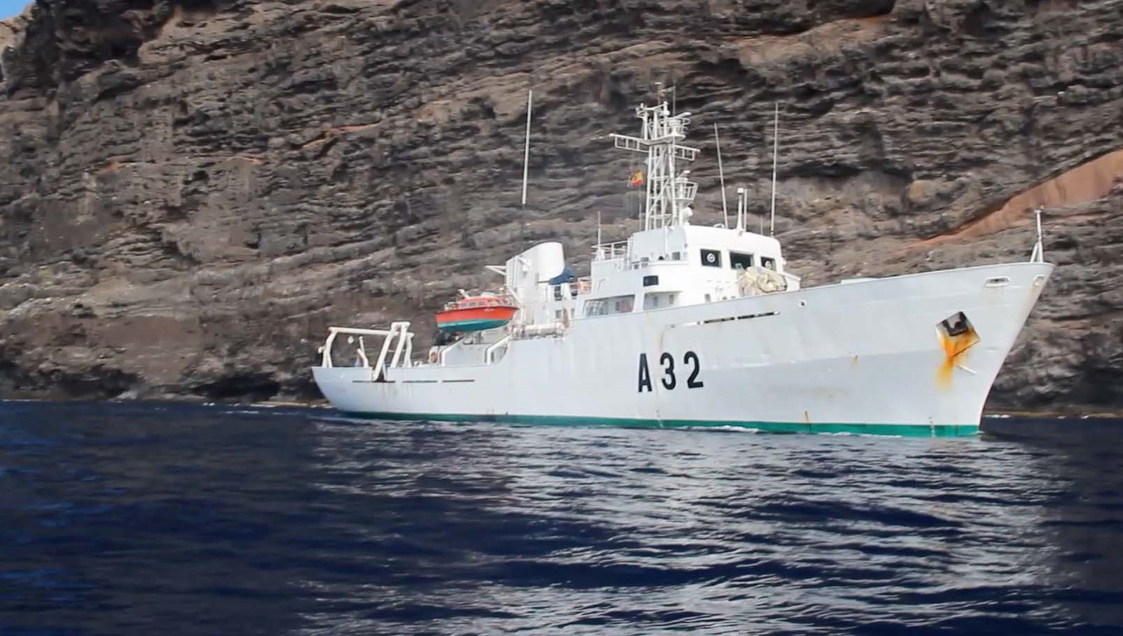
The Spanish Navy Hydrographic Institute (IHM in its Spanish initials) plans to send a hydrographic commission to the Island of La Palma, in order to draw the new coastline, modified after last year’s volcanic eruptions, and incorporate it into the nautical chart of this island.
The Cartographic Plan of the IHM contemplates the publication of Nautical Chart number 616 ‘Isla de La Palma’ during 2023. Other hydrographic campaigns were carried out in previous years with the ‘Tofiño’ and ‘Malaspina’, but had to wait for the end of the volcanic episodes suffered in the island so as to definitively obtain the final outline of the new coast.
For this reason, a hydrographic commission will travel to the west coast of the island of La Palma, specifically to the area of Tazacorte, to conduct the necessary geodetic and photogrammetric works to determine the new coastline, as well as the positioning of other geographical features of hydrographic interest, which have been affected by the eruption of the ‘Cumbre Vieja’ volcano.
The novelty of this work is that drones will be used for the first time for this type of survey. This campaign will update the coastline with the IHM’s own means, namely, with a Remotely Piloted Aircraft System (RPAS). The drone will be equipped with sensors such as a digital photogrammetric camera, a topographic LIDAR, and a GNSS receiver, as well as diverse geodetic material. The acquisition of this data will complete the coastline that in previous years was routinely obtained by the Cartographic and Photographic Center of the Spanish Air Force (CECAF), a center that usually provides the required aerial photography of specific areas.
Another new aspect of this endeavor is that the other two military cartographic centers, the Army Geographic Center and the Air Force CECAF, will carry out measurements with their own methods, subsequently comparing procedures and results. This study is part of the current Cartographic Plan of the Armed Forces, prepared by the Cartographic Coordination Unit of the Armed Forces’ Intelligence Center.
During the first quarter of 2022, the hydrographic vessel ‘Tofiño’ carried out the bathymetric surveys of the west coast of the island of La Palma, to update the part of the cartography of the area related to the depths of the seabed affected by volcanic processes and thus update the soundings that will be represented in the new chart with the aim of guaranteeing safety for navigation in that coastal area. The ‘Tofiño’ used for this purpose state-of-the-art multi-beam sounders capable of obtaining a comprehensive coverage of the sea bottom. The results, after a work of processing and quality control, became part of the database with which the nautical charts of Spain will be conformed, guaranteeing safety in navigation in the waters concerned.
The Hydrographic Institute, responsible for the elaboration and updating of Spanish nautical cartography, is integrated into the Maritime Action Force. With its vessels, it ensures permanent cooperation with other agencies of the Administration with responsibilities in the maritime domain, which constitutes the contribution of the Spanish Navy to the State Action at Sea.

