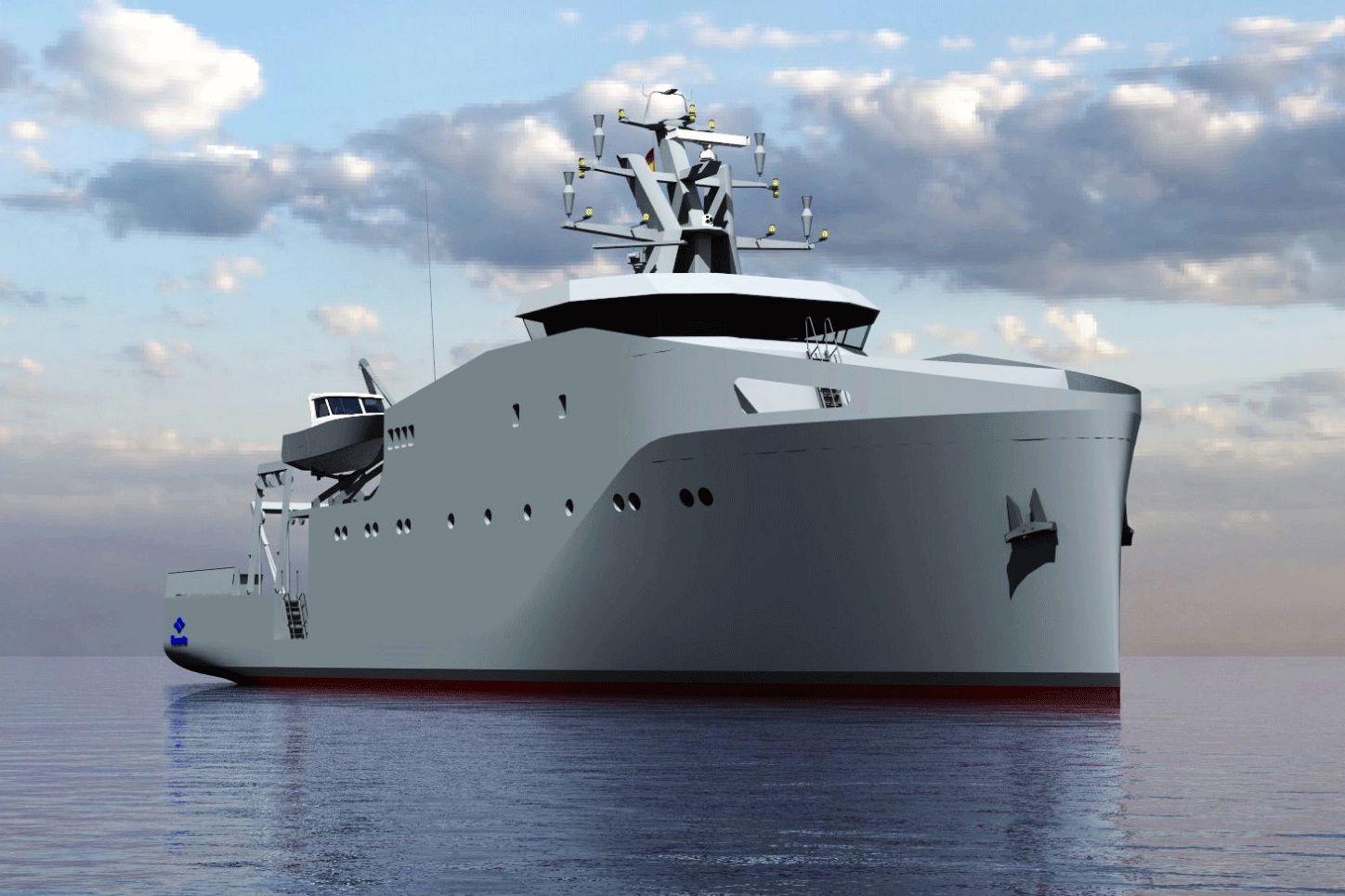
The Navy and Navantia are making good progress in defining the next generation of Coastal Hydrographic Vessels (BHC), which will replace the current ‘Antares’ class.
Officials from the Navy and the company held a meeting at the Navantia Training Centre (NTC) in which the progress of the program was confirmed. The meeting was attended by the director of the Corvette and Maritime Action Vessel Business, Alberto Cervantes, together with the head of this program, Juan Carlos Carrascal; and, on behalf of the Navy, the head of Naval Programs, CN Pedro Sánchez; and the head of the Hydrographic Flotilla Program, CNI Ángel Arrazola. Representatives from the Hydrographic Institute of the Navy (IHM) and other Navy departments also attended.

Last December, the Ministry of Defense and Navantia signed the execution order for the construction of these two vessels, which will allow the Navy to renew its Hydrographic Flotilla, also advancing in the green transition, since the new vessels will be able to operate with biofuels.
These meetings are aimed at reaching the preliminary design review phase, the approval of which is expected in the first months of next year.
The main mission of the BHCs is to publish, disseminate and maintain official nautical cartography of the State in Spanish waters and coasts, a task of the Hydrographic Institute of the Navy (IHM), responsible for operating these vessels and ensuring the fulfillment of these missions.
The ships will be 47 metres long and have a displacement of around 900 tonnes. With a reduced crew of 30 people, due to their high degree of automation, they will have a range of 3,000 miles to operate in shallow waters for 15 days.
These vessels will be built at Navantia’s shipyard in San Fernando. Over the next four years, the project will support 700 jobs, including direct, indirect and induced employment.
The BHCs will be capable of carrying out hydrographic surveys to enable the creation of cartography, supporting the Fleet with geographic, environmental and meteorological information and protecting underwater archaeological heritage. To this end, they will be equipped with hydrographic equipment such as echo sounders, side-scan sonar or positioning systems that will contribute to the study of the water column and the seabed.
In addition, they will have autonomous means such as a ROV (Remotely Operated Vehicle), a USV (Unmanned Surface Vehicle) and a hydrographic boat, which will work autonomously to compile and record data and which have the capacity to carry out hydrographic and oceanic work.

